


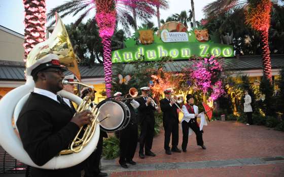
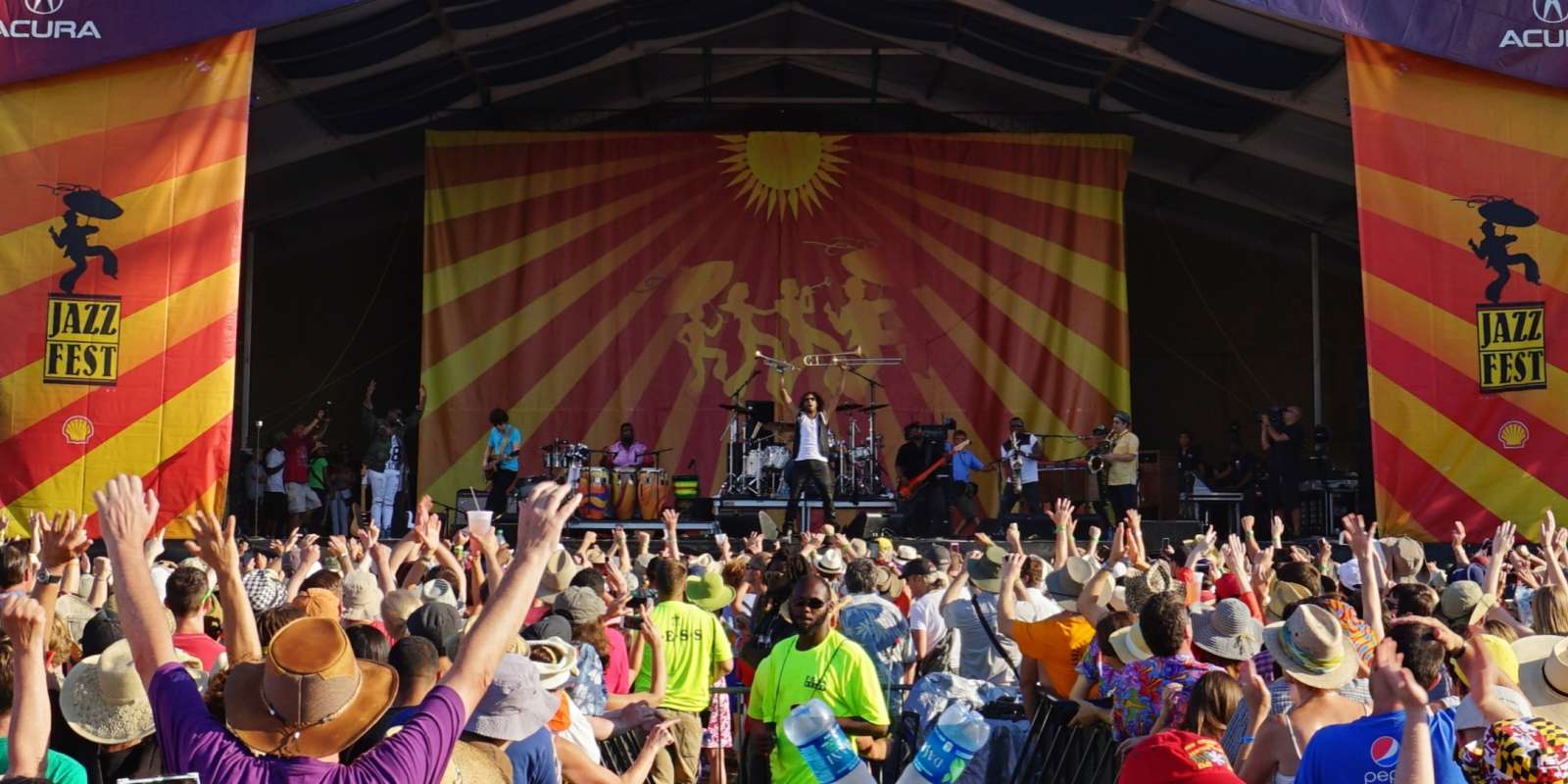
Wednesday at the Square Concert Series
Wednesday at the Square 2024 Wednesday at the Square, sponsored by the Young Leadership Council of New Orleans, presents a series of free outdoor concerts featuring well-known local artists. The...
Read More


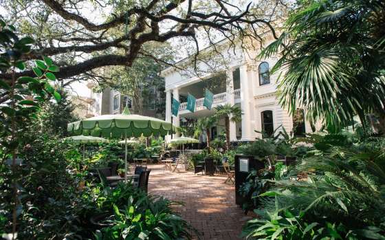
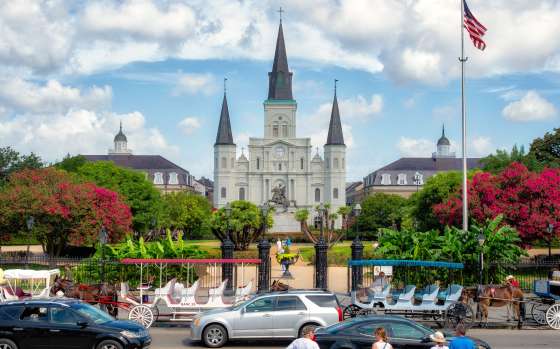
 Things To Do


 Eat
Eat


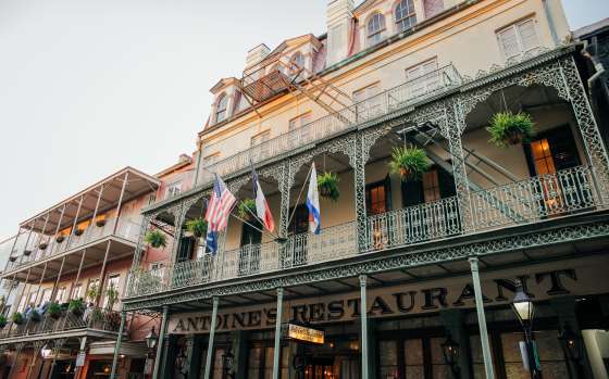


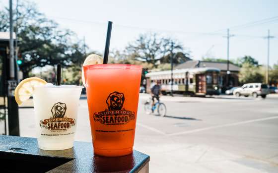
 Drink
Drink